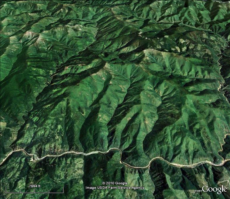
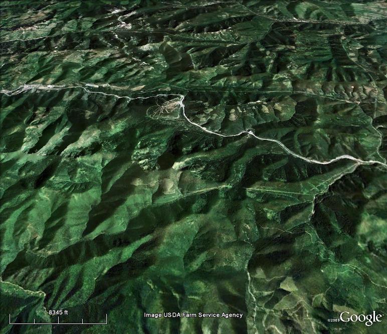
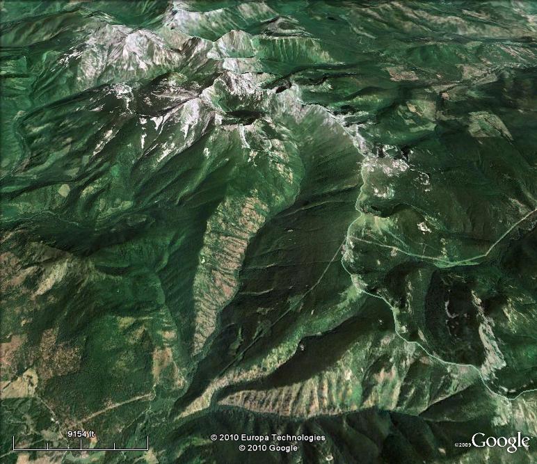
The following are a set of modern aerial photography images from Google Earth. Each set of two images depicts the locale where forest fire fighters died in 1910. The first image in each set has wording and/or icons to help with orientation. The second image in each set has no wording or icons on the landscape. All are looking north except for the De Faut Gulch images which are looking south. The scale from set to set are approximately equal.
MIDDLE FORK OF BIG CREEK OF THE ST. JOE RIVER
![]()
Middle Fork of Big Creek -- The Middle Fork of Big
Creek joins the West Fork of Big Creek three miles downstream. What then
is Big Creek proper flows another eight miles to the St. Joe River.
Homesteads were scattered throughout the Middle Fork. The Beauchamp
homestead, where Bell's crew sought refuge, was in what is now
called Early Creek. The elevation there is 3700 feet. The Coeur
d'Alene-St. Joe Divide is just two miles to the north. Across a low place
in the Divide (4900 feet) is Big Creek of the Coeur d'Alene River's South Fork.
The Coeur d'Alene-St. Joe Divide rises to 5900 feet at the head of Early Creek
and stays between 5700 and 6200 feet for a couple of miles to the east,
the route of Pulaski's flight with his crew. Striped Peak, just off
the Divide, is at 6316 feet.
The War Eagle Mine was around 3500 feet. Wallace is at 2750 feet.

____________________________________
WEST FORK OF BIG CREEK OF THE ST. JOE RIVER
![]()
West Fork of Big Creek of the St. Joe River -- The
Dittman homestead was along a fork of a tributary, now called Deadman
Gulch, of the West Fork of Big Creek. The elevation there was 4400
feet. The scarp extending easterly from there is on the north face of
Pierce Creek which flows into Big Creek a mile below the confluence of the West
Fork and the Middle Fork. A half mile to the west of the homestead
site is the divide between Trout Creek and Big Creek, and up that divide
at the head of Deadman Gulch is Lemonade Peak, elevation 5651 feet.
To the north is the Pine Creek drainage of the South Fork of the Coeur d'Alene
River.

____________________________________
STORM CREEK - SETZER CREEK
![]()
Rock Creek - Storm Creek - Setzer Creek -- These
three creeks flow off of Flash Peak, Storm Mountain and the North Fork
divide to flow into the St. Joe River. The upper elevations are over 5600
feet with a higher ridge (Cedar Mountain) to the north. The ridge camp was
at 5600 feet elevation, and the camp at the back of Storm Creek was at
3500 feet.
Avery, at the mouth of the North Fork of the St. Joe River, is at 2500 feet.
Slate Creek flows past Cedar Mountain to the west and enters the river at 2400
feet.

____________________________________
BULLION CREEK
![]()
Bullion Creek -- The Bullion Mine is near the head
of Bullion Creek just off the Bitterroot Divide. The elevation at the mine
is 4900 feet. Bullion Creek flows westerly to join the North Fork of the
St. Joe River at 3150 feet elevation.
The St. Paul Pass Tunnel bored through the Bitterroot Divide between Roland and
East Portal at an elevation of 4150 feet. The Chicago, Milwaukee and Puget
Sound Railway opened the tunnel and its main line in 1909. From Taft
eastward the CM&PS Railway paralleled the Northern Pacific Railroad's Wallace
extension along the St. Regis River. The elevation at Taft is 3600 feet.
Wallace is six miles down the South Fork of the Coeur d'Alene River from Mullan.
Mullan's elevation is 3300 feet.
The elevation of Stevens Peak is 6838 feet, and the elevation of Lookout
Pass is 4725 feet.

____________________________________
DE FAUT GULCH (DRY CREEK)
![]()
De Faut Gulch -- De Faut Gulch is now called Dry
Creek, which flows into the Clark Fork between Clark Fork, Idaho and
Heron, Montana. The braided channels of the Clark Fork, which flow
into Pend Oreille Lake, are just west of Clark Fork, Idaho.
The main line of the Northern Pacific Railroad crossed De Faut Gulch near its
mouth.
To the south beyond the head of De Faut Gulch is the Coeur d'Alene River
drainage.
.jpg)
____________________________________
SWAMP CREEK
![]()
Swamp Creek -- Swamp Creek flows out of the
mountains onto the bottomlands of the Clark Fork five miles north of Trout
Creek, Montana and just across the valley from Tuscor Creek. The elevation
along this reach of the Clark Fork is around 2300 feet.
At the head of Swamp Creek are Goat Peak, 6889 feet, and Flat Top
Mountain, 7590 feet.
The main line of the Northern Pacific Railroad crossed Swamp Creek near its
mouth.

____________________________________